Deliver to Ukraine
For best experience Get the App
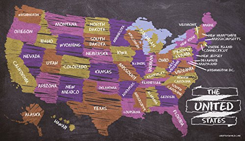
Discover a wide selection of high-quality maps of world products.


![World’s Best World Map - Laminated [52 x 37 inches]](https://m.media-amazon.com/images/I/71ZBqJvesmL.jpg)